Havant new builds, planning and conservation area
Figures last changed 2 November 2026. House prices for Havant are on the main Havant page.
- New-build sales
- 85
- since January 2022, Land Registry
- Listed buildings
- 69
- 1 Grade I, 2 Grade II*
- Tighter planning
- 90 of 369
- postcodes in a conservation area or protected landscape
- Brownfield sites
- 26
- on the council's register, within 500 m
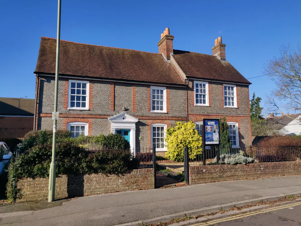
New builds and housing developments in Havant
Land Registry recorded 85 sales of newly built homes in Havant between January 2022 and September 2026: 68 in 2022, 1 in 2023, 9 in 2024 and 7 in 2025. New estates take several months to appear in its records, and their new postcodes longer, so homes finished this year may not show yet. Havant Borough Council's brownfield land register (last updated January 2021) lists 26 sites within 500 metres of a Havant postcode, with room for about 2,179 homes; the largest is Havant Town Centre Havant, for 750 homes, without planning permission yet. Where new homes go is set by Havant Borough Council's local plan, the Core Strategy and Allocations Plan, which runs to 2026; a new one is being prepared.
Source: Core Strategy and Allocations Plan, adopted November 2021 · HM Land Registry Price Paid Data · Brownfield land registers (planning.data.gov.uk) · Local plans (planning.data.gov.uk) · How to check a new estate's drainage.
Havant conservation area and extensions
Usually, within the national limits, but not everywhere: 90 of Havant's 369 postcodes are in conservation areas or Chichester Harbour National Landscape, where homeowners can do less without planning permission. Of those, conservation areas cover 89 (St Faith's 73, Langstone 6, Brockhampton 3 and Mill Lane 2) and the National Landscape ten, and some postcodes are in more than one. There, an extension to the side, a back extension of more than one storey, a loft extension that adds to the roof and cladding the outside all need planning permission. Historic England lists 69 buildings in Havant, set out under listed buildings below; any work that changes a listed building's character, inside or out, needs listed building consent. Eight of Havant Borough Council's Article 4 directions, which take away particular permitted development rights, reach within 100 metres of its postcodes. Tree preservation orders protect 836 trees and 132 areas or groups of trees within 100 metres of its postcodes; work on a protected tree needs the council's consent. In a conservation area, cutting down or pruning a tree above a small size needs six weeks' notice to the council. Flats and maisonettes have no householder permitted development rights. Whether a particular job needs permission depends on the home: the council can say, and a lawful development certificate puts it in writing.
Source: Conservation areas (planning.data.gov.uk, Historic England and councils) · National Landscapes (planning.data.gov.uk, Natural England) · National Heritage List for England, © Historic England 2026; contains Ordnance Survey data © Crown copyright and database right 2026 · Article 4 direction areas (planning.data.gov.uk) · Tree preservation orders (planning.data.gov.uk) · Permitted development rights for householders: technical guidance (GOV.UK).
How many listed buildings are in Havant?
Historic England's National Heritage List has 69 entries inside Havant's ward boundary: one at Grade I, two at Grade II* and 66 at Grade II. An entry can cover a group, such as a terrace. The Grade I entry is the Church of St Thomas-a-becket. The Grade II* entries are the Church of St Faith and Warblington Castle. The most recent addition is Warblington Secondary School, listed in June 2019. Each entry on the List is the official record of what is listed; Havant Borough Council handles listed building consent.
| Church of St Thomas-a-becket | I | 1952 | |
| Church of St Faith | II* | 1952 | |
| Warblington Castle | II* | 1952 | 1984 |
All 66 Grade II entries in Havant
All 69 entries, with grades, dates and links: listed-buildings.csv.
Source: National Heritage List for England, © Historic England 2026; contains Ordnance Survey data © Crown copyright and database right 2026 · ONS parish and ward boundaries (Open Geography Portal).
Planning in nearby places
- Emsworth: Land Registry has recorded 56 sales of newly built homes since January 2022; the brownfield register lists eight sites nearby.
- Southbourne: Land Registry has recorded 37 sales of newly built homes since January 2022.
- Westbourne: Land Registry has recorded 7 sales of newly built homes since January 2022.
- Hayling Island: Land Registry has recorded 74 sales of newly built homes since January 2022; the brownfield register lists 22 sites nearby.
Figures cover 369 postcodes in Havant. How these figures are made.