Havant flooding and flood risk
Figures last changed 2 November 2026. House prices for Havant are on the main Havant page.
- Flood zone 3
- 30 of 369
- postcodes; 22 more in zone 2
- Surface water
- 196 of 369
- high or medium risk within 25 m
- Rivers and sea, 2050s
- 30 → 45
- postcodes at high or medium risk, now then in the 2050s
- Flood warnings
- 12 days
- in the 10 years to June 2026
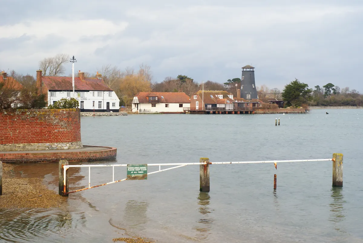

Does Havant flood?
From rivers and the sea, parts of it can. 30 of Havant's 369 postcodes have their centre point inside Environment Agency flood zone 3, the highest band, and 22 more sit in zone 2. These zones cover rivers and the sea only and ignore flood defences. Rain is a separate risk: on the Environment Agency's surface-water map (read 2 November 2026), 196 of the 369 postcodes (53%) have high or medium risk within 25 metres of their centre point. Groundwater isn't mapped in either, and a postcode is not a house: check an exact address on GOV.UK.
Source: Environment Agency Flood Map for Planning · Check an address for flood risk · What the flood zones leave out · New builds and Flood Re.
Future flood risk in Havant
Yes, noticeably more, on the Environment Agency's climate change scenario. Its long-term flood maps, unlike the flood zones above, count flood defences. From rivers and the sea, 30 of Havant's 369 postcodes have their centre point at high or medium risk today, and 45 under the scenario, which runs to the 2050s with sea level rise to 2065; at high risk alone, 20 today and 32 then. From heavy rain, 196 have high or medium risk within 25 metres today, and 238 under the scenario. High risk means at least a 1 in 30 chance of flooding in any year, and medium means between 1 in 100 and 1 in 30. The maps were read on 2 November 2026.
Source: Environment Agency long-term flood risk maps, today and with climate change.
How often does Havant get flood warnings?
The Environment Agency issued a flood warning for part of Havant on twelve days in the ten years to June 2026, most recently on 18 February 2026. 22 of its 369 postcodes sit inside three Agency flood warning areas: "Langstone and Emsworth" (Langstone Harbour, Emsworth Harbour), with warnings on nine days; "Crosslands Drive and West Leigh, Havant, on the Lavant Stream" (River Lavant), on two; and "Havant Town Centre on the Lavant Stream" (River Lavant), on one. No severe flood warning, the level that means danger to life, was issued in that time. Flood alerts, the earlier message that flooding is possible, went out on 58 days in that time, most recently on 18 February 2026. Warnings cover flooding from rivers and the sea, and groundwater in a few places, not heavy rain on its own. Each count is of days on which a new warning or alert went out, so updates on an event already running are not counted again.
Source: Environment Agency Historic Flood Warnings · Environment Agency flood warning and alert areas (real-time flood-monitoring API) · Sign up for free flood warnings.
Is the coast at Havant eroding?
Not where homes are, on current plans. The shoreline plan for the 4.5 km of coast within 500 metres of Havant's postcodes is to hold the line, keeping the existing defences, through to 2105. None of its postcodes has its centre point in land the Environment Agency's erosion map expects to be lost by 2105, if that plan is carried out and with its higher central allowance for climate change.
Source: Environment Agency National Coastal Erosion Risk Map 2024.
Are there old landfill sites near Havant?
Yes. The Environment Agency's record of historic landfill sites shows two within 500 metres of a Havant postcode, and two of its 369 postcodes (1%) have their centre point on one or within 250 metres of it. The one closest to most postcodes is Land South Of Budds Farm Sewage Works, which took household waste (the record gives no dates). The others are Southleigh Forest. A historic landfill is an old tip with no environmental permit in force: one that closed before tips were licensed, or whose licence has since ended. The Agency says much of its record comes from a national survey in the early 1990s, so it may be incomplete, and some boundaries are only approximate. An old tip nearby does not by itself mean a problem; the council's contaminated land register, or a search on an exact address, says more.
Flooding and land in nearby places
- Emsworth: Parts of it can: seven of its 300 postcodes are in flood zone 3, and seven more in zone 2; 90 (30%) have high or medium risk from heavy rain.
- Southbourne: Parts of it can: nine of its 215 postcodes are in flood zone 3, and eight more in zone 2; 78 (36%) have high or medium risk from heavy rain.
- Westbourne: Parts of it can: four of its 91 postcodes are in flood zone 3, and three more in zone 2; 40 (44%) have high or medium risk from heavy rain.
- Hayling Island: Parts of it can: 78 of its 472 postcodes are in flood zone 3, and 28 more in zone 2; 169 (36%) have high or medium risk from heavy rain.
Figures cover 369 postcodes in Havant. How these figures are made.