Havant train station, buses, doctors and schools
Figures last changed 2 November 2026. House prices for Havant are on the main Havant page.
- Nearest station
- Havant
- a median 0.5 km away
- Weekday trains
- 183
- leave Havant, 7am to 7pm, all ways
- Hourly bus
- 73%
- of postcodes within 400 m of one
- Gigabit broadband
- 94%
- of premises, Ofcom January 2026
Can you live in Havant without a car?
Yes, more easily than in most places we cover.
Havant train station and trains to London
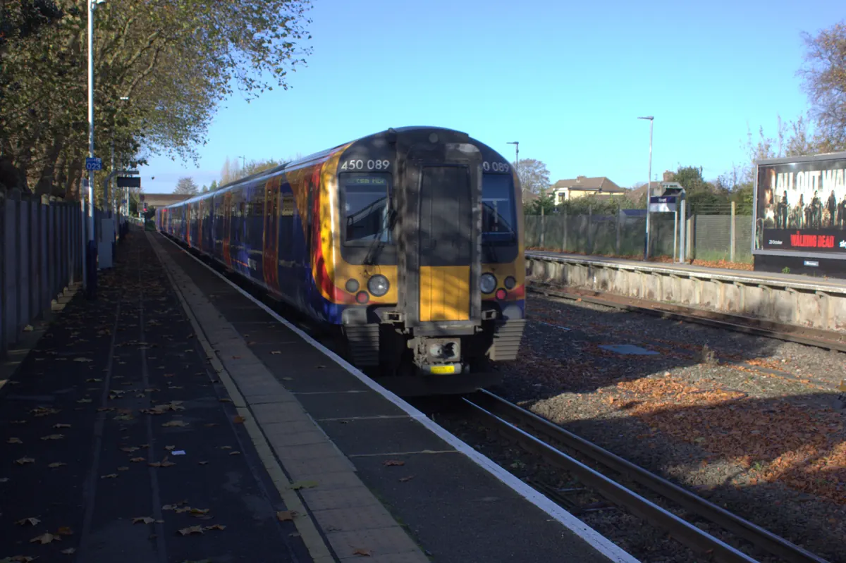
The nearest station for most of its postcodes is Havant, a median 0.5 km away, with 80% of postcodes within 800 metres. It recorded 2,082,866 entries and exits between April 2024 and March 2025. On the timetable for a term-time weekday (17 November 2026), 90 trains leave Havant towards Portsmouth, 34 towards Petersfield and 59 towards Chichester between 7am and 7pm, between seven and eight an hour towards Portsmouth, about three an hour towards Petersfield and about five an hour towards Chichester; westbound they run to Portsmouth Harbour and Southampton Central, northbound to London Waterloo, eastbound to Brighton and Horsham. A direct train typically takes 14 minutes to Chichester, 14 minutes to Portsmouth and Southsea and 1 hour 30 minutes to London Waterloo.
Havant buses and bus times
On the same weekday (17 November 2026), bus route 27 calls within 400 metres of 79% of postcodes, about 4 times each way between 7am and 7pm, and none on a Sunday; bus route 700 calls within 400 metres of 45% of postcodes, about 36 times each way between 7am and 7pm, and 29 on a Sunday. 73% of postcodes have a route within 400 metres with at least 12 journeys each way between 7am and 7pm, one an hour on average.
Havant doctors, schools and shops
The nearest GP surgery for most postcodes is Blossom Health, a median 0.7 km away; the nearest state primary school is Fairfield Infant School (0.4 km) and the nearest state secondary Warblington School (0.9 km), which is not necessarily the catchment school. The nearest food shop for most postcodes is Waitrose (0.3 km).
Havant broadband
Gigabit broadband reaches 94% of premises and superfast 100%, averaged across 286 of Havant's 369 postcodes (Ofcom, January 2026).
Distances are straight lines from each postcode's centre point, and every postcode counts once, however many homes it has.
Source: NaPTAN rail stations (Department for Transport) · ORR estimates of station usage · Bus Open Data Service timetables (Department for Transport) · NHS Organisation Data Service GP surgeries · Get Information about Schools (Department for Education) · OpenStreetMap shops, © OpenStreetMap contributors · Ofcom Connected Nations broadband coverage.
Getting around in nearby places
- Emsworth: In much of it, yes, though not all: the basics are within a walk, but frequent buses reach only part of it. The nearest station is Emsworth, a median 0.8 km away.
- Southbourne: Yes, more easily than in most places we cover. The nearest station is Southbourne, a median 0.6 km away.
- Westbourne: Day to day, perhaps, because the basics are within a walk, but getting further afield is hard without one. The nearest station is Emsworth, a median 1.7 km away.
- Hayling Island: In parts: some streets are close to a station or a frequent bus, but the everyday basics are further away. The nearest station without crossing the water is Havant, a median 7.3 km away.
Figures cover 369 postcodes in Havant. How these figures are made.