Getting around East Wittering and Bracklesham
Figures last changed 22 October 2026. House prices for East Wittering and Bracklesham are on the main East Wittering and Bracklesham page.
- Nearest station
- Bosham
- a median 8.7 km away
- Weekday trains
- 32
- leave Bosham, 7am to 7pm, both ways
- Hourly bus
- 76%
- of postcodes within 400 m of one
- Gigabit broadband
- 87%
- of premises, Ofcom January 2026
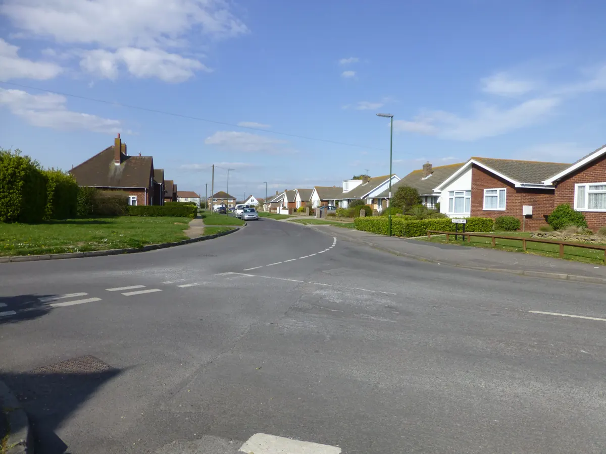
Can you live in East Wittering and Bracklesham without a car?
In much of it, yes, though not all: the basics are within a walk, but frequent buses reach only part of it. Locals see it as easier than these figures suggest.
Is there a train station nearby?
The nearest station for most of its postcodes is Bosham, a median 8.7 km away. It recorded 69,330 entries and exits between April 2024 and March 2025. On the timetable for a term-time weekday (10 November 2026), 16 trains leave Bosham towards Havant and 16 towards Chichester between 7am and 7pm, between one and two an hour each way; westbound they run to Portsmouth Harbour, eastbound to Horsham.
How often do buses run?
On the same weekday (10 November 2026), bus route 614 calls within 400 metres of 93% of postcodes, about once each way between 7am and 7pm, and none on a Sunday; bus route 52 calls within 400 metres of 76% of postcodes, about 24 times each way between 7am and 7pm, and twelve on a Sunday. 76% of postcodes have a route within 400 metres with at least 12 journeys each way between 7am and 7pm, one an hour on average.
How far are the GP, schools and shops?
The nearest GP surgery for most postcodes is Witterings Medical Centre, a median 1.2 km away; the nearest state primary school is East Wittering Community Primary School (0.8 km) and the nearest state secondary the Academy, Selsey (5.9 km), which is not necessarily the catchment school. The nearest food shop for most postcodes is Central (0.3 km).
Is there fast broadband?
Gigabit broadband reaches 87% of premises and superfast 100%, averaged across 141 of East Wittering and Bracklesham's 149 postcodes (Ofcom, January 2026).
Distances are straight lines from each postcode's centre point, and every postcode counts once, however many homes it has.
Source: NaPTAN rail stations (Department for Transport) · ORR estimates of station usage · Bus Open Data Service timetables (Department for Transport) · NHS Organisation Data Service GP surgeries · Get Information about Schools (Department for Education) · OpenStreetMap shops, © OpenStreetMap contributors · Ofcom Connected Nations broadband coverage.
What locals say
- With shops and places to eat close by, locals reckon you could live here without a car.
Getting around in nearby places
- West Wittering: In much of it, yes, though not all: the basics are within a walk, but frequent buses reach only part of it. The nearest station is Bosham, a median 7.9 km away.
- West Itchenor: It would be hard. The nearest station is Bosham, a median 4.5 km away.
- Birdham: In much of it, yes, though not all: the basics are within a walk, but frequent buses reach only part of it. The nearest station is Fishbourne, a median 5.1 km away.
- Bosham: In much of it, yes, though not all: the basics are within a walk, but frequent buses reach only part of it. The nearest station is Bosham, a median 1.2 km away.
Figures cover 149 postcodes in East Wittering and Bracklesham. How these figures are made.